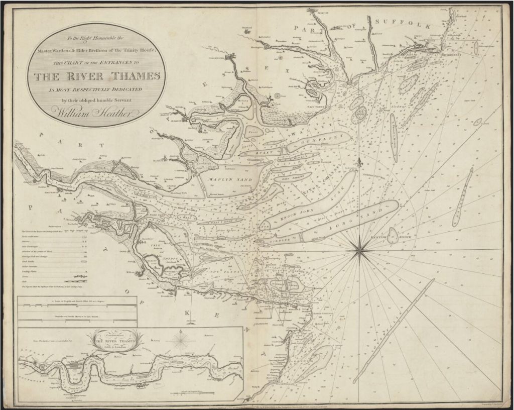
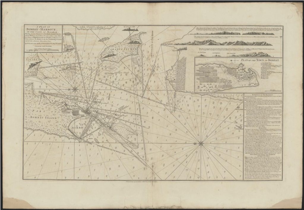
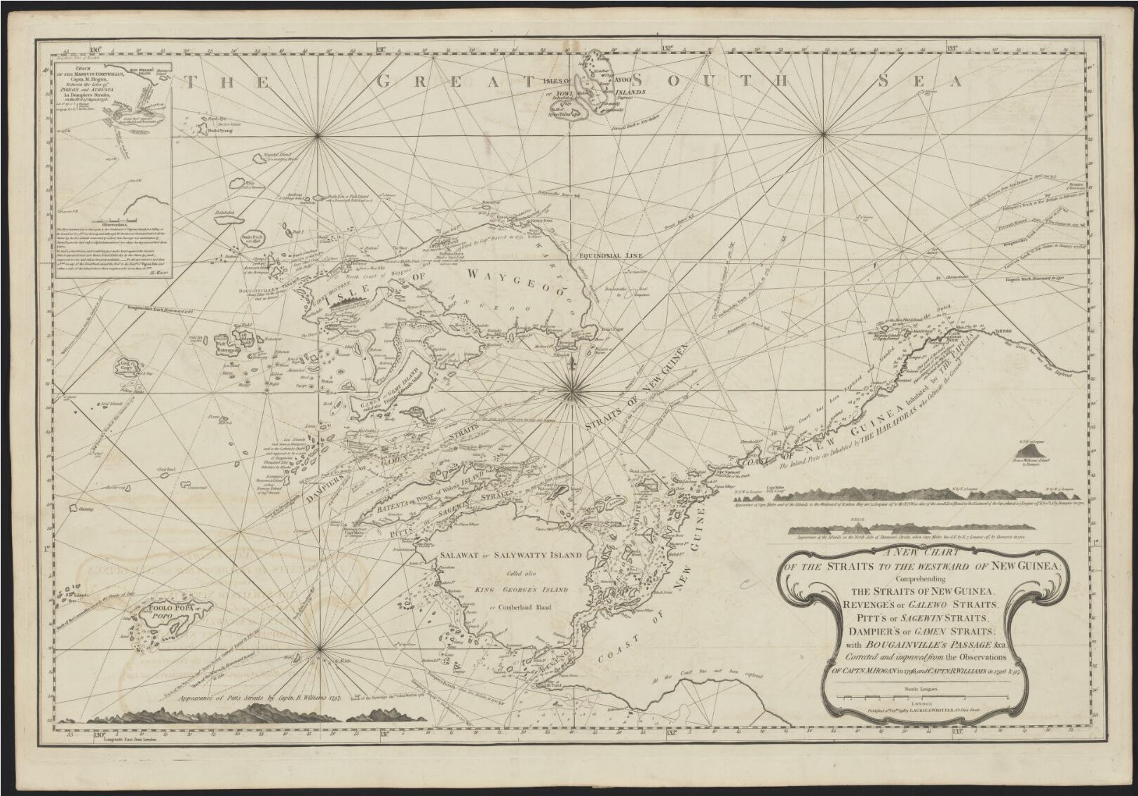
In April of 1994, a newspaper clipping of Charles life indicates that at the time he was restoring another set of historic nautical maps known as the East India Pilot from 1799. These were the charts that brought Britain to the doorstep of India.
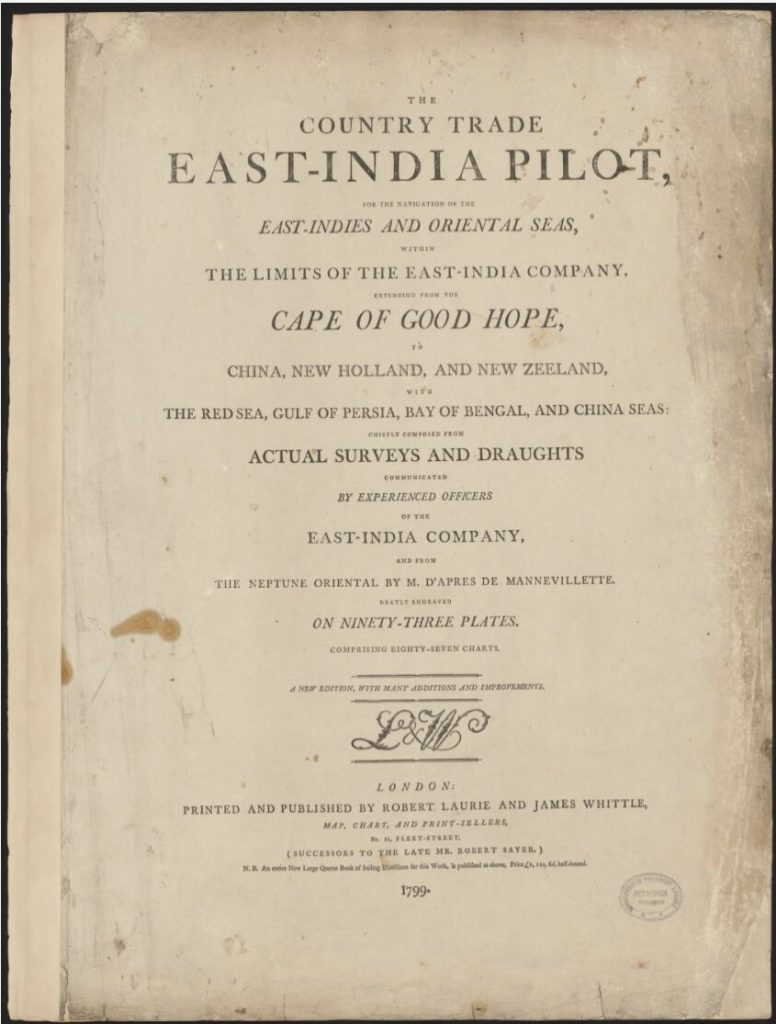
“The Country Trade East-India Pilot, for the navigation of the East-Indies and oriental seas, within the limits of the East-India Company, extending from the Cape of Good Hope to China, New Holland and New Zeeland, with the Red Sea, Gulf of Persia, Bay of Bengal, and China Seas chiefly composed from actual surveys and draughts communicated by experienced officers of the East-India Company, and from the Neptune oriental by M. d’Apres de Mannevillette.”
“Neatly engraved on ninety-three plates. Comprising eighty-seven charts”
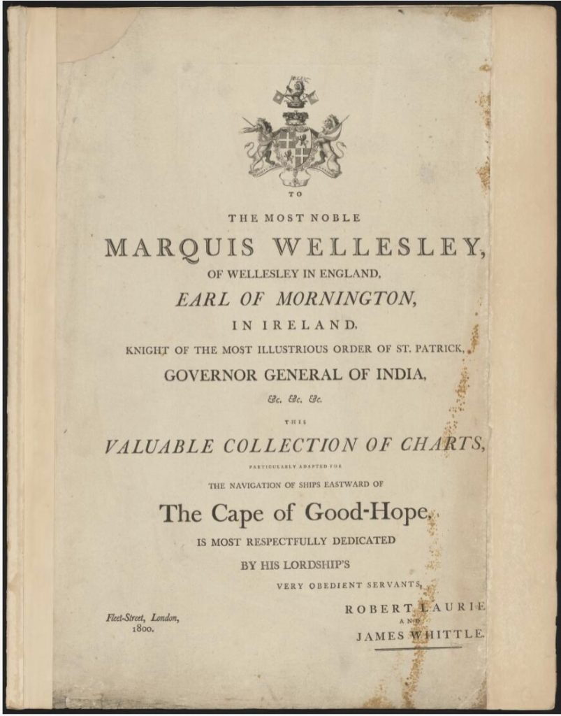
“To the most noble Marquis Wellesley, of Wellesley in England, Earl of Mornington, in Ireland, Knight of the most illustrious order of St. Patrick, Governor General of India, this valuable collection of charts, particularly adapted for the navigation of ships eastward of the Cape of Good-Hope, is most respectfully dedicated by his Lordship’s very obedient servants, Robert Laurie and James Whittle. Fleet-Street, London, 1800”–P. [3].
Most maps published by Laurie and Whittle, or William Heather, or Heather and Williams. Some maps by James Horsburgh. Some maps engraved by J. Stephenson.
A link to the entire edition of the East-India Pilot is as follows:
https://nla.gov.au/nla.obj-368781110/view?partId=nla.obj-373067101#page/n0/mode/1up
